Geography Quizzes: How to Identify Locations and Features on Maps
Master geography quizzes by learning proven strategies for identifying countries, capitals, landforms, and map features. Tips for students at every level.
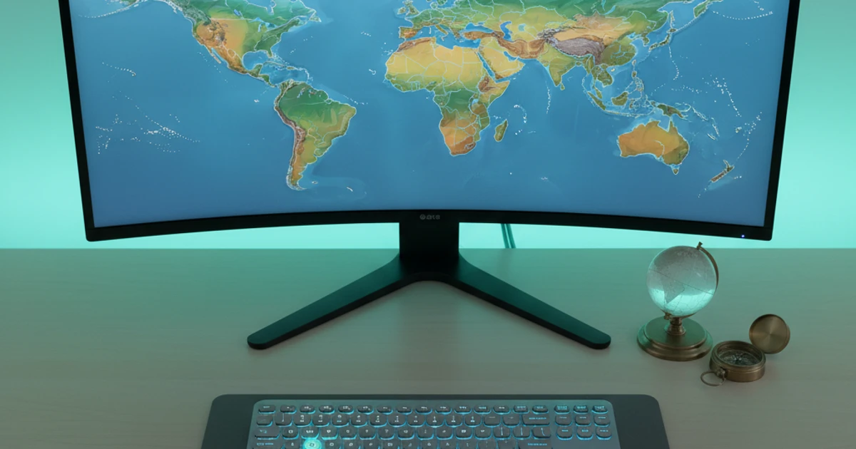
Try ScreenHelp Free
Get AI-powered screen assistance for any task. Analyze screenshots and get instant guidance.
Get StartedGeography quizzes are a staple of education from elementary school through college and beyond. Whether you're studying for an AP Human Geography exam, preparing for a geography bee, or tackling map-based questions on a certification test, the ability to identify locations and features on maps is a skill that rewards dedicated practice.
This guide breaks down the types of geography questions you'll encounter, strategies for mastering them, and tools that can accelerate your learning.
Why Geography Quizzes Still Matter
In an era of GPS and Google Maps, you might wonder why geography quizzes remain relevant. The answer is multifaceted:
- Spatial reasoning — Understanding where places are in relation to each other builds cognitive skills that transfer to other disciplines.
- Cultural literacy — Knowing where countries and regions are located provides essential context for understanding history, politics, economics, and current events.
- Academic requirements — Geography appears across standardized tests, college entrance exams, and professional certifications in fields like teaching, foreign service, and military roles.
- Career applications — Logistics, international business, journalism, and humanitarian work all demand solid geographic knowledge.
Common Types of Geography Quiz Questions
1. Political Map Identification
These are the most common geography quiz questions. You're shown a political map — either a world map, a regional map, or a single continent — and asked to identify countries, states, provinces, or capitals.
Strategies:
- Learn countries by continent, starting with the ones you find most difficult (for many students, that's Africa or Southeast Asia).
- Pay attention to relative position. Knowing that Burkina Faso is north of Ghana is easier to remember when you learn them as a pair.
- Use mnemonic devices. For example, the Central American countries from north to south spell out "Big Girls Can Handle Every Nasty Party" (Belize, Guatemala, Costa Rica... well, almost — adapt mnemonics that work for you).
2. Physical Feature Identification
These questions ask you to identify mountain ranges, rivers, deserts, oceans, seas, lakes, and other natural features on a map.
Key features to know:
- Mountain ranges: Himalayas, Andes, Rockies, Alps, Ural Mountains, Atlas Mountains, Great Dividing Range
- Rivers: Nile, Amazon, Mississippi, Yangtze, Danube, Congo, Ganges, Mekong
- Deserts: Sahara, Gobi, Atacama, Arabian, Kalahari, Great Victoria
- Bodies of water: Mediterranean Sea, Caspian Sea, Great Lakes, Black Sea, Red Sea, Sea of Japan
Strategy: Study physical maps (not just political ones). Many students only practice with color-coded country maps and then struggle when they see topographic or physical feature questions.
3. Thematic Map Reading
More advanced quizzes — especially at the AP or college level — include thematic maps showing population density, climate zones, resource distribution, language families, or economic data. You're asked to interpret patterns, draw conclusions, or identify regions based on the data presented.
Strategies:
- Practice reading map legends carefully. The legend is your decoder ring.
- Understand common map projections (Mercator, Robinson, Peters) and how they distort size and shape.
- Learn to distinguish between choropleth maps (color-shaded areas), dot density maps, and proportional symbol maps.
4. Latitude and Longitude Questions
Some quizzes test your ability to locate places using coordinates. You might be given coordinates and asked to name the city, or given a city and asked to estimate its position.
Key reference points to memorize:
- The Equator (0° latitude) passes through Ecuador, Colombia, Brazil, several African nations, and Indonesia.
- The Prime Meridian (0° longitude) passes through Greenwich, England, France, Spain, and several West African countries.
- The Tropic of Cancer (23.5°N) and Tropic of Capricorn (23.5°S) define the tropics.
- Know approximate coordinates for major world cities.
5. Topographic and Contour Map Questions
Often used in Earth science and physical geography courses, these questions require you to read contour lines to determine elevation, slope steepness, and terrain features like ridges, valleys, and depressions.
Strategies:
- Closely spaced contour lines = steep terrain. Widely spaced = gentle slope.
- V-shaped contour lines pointing uphill indicate a valley or stream.
- Closed loops with hachure marks indicate depressions.
Proven Study Methods for Geography Quizzes
Spaced Repetition
Don't cram all your map study into one night. Research consistently shows that spacing out your practice over days or weeks dramatically improves long-term retention. Spend 15–20 minutes daily rather than two hours the night before.
Active Recall Over Passive Review
Looking at a labeled map feels productive, but it's far less effective than testing yourself with a blank map. Print or pull up blank maps and try to fill in as many countries, capitals, or features as you can from memory. The struggle of recall is where learning happens.
Layered Learning
Start with broad strokes — learn the continents, then regions within continents, then individual countries, then capitals and major cities. Each layer gives the next layer something to attach to.
Use Multiple Map Types
Study political maps, physical maps, satellite images, and thematic maps of the same region. Seeing the same geography represented in different ways strengthens your mental model and prepares you for varied question formats.
Draw Maps by Hand
It may sound old-fashioned, but sketching maps from memory is one of the most effective study techniques available. You don't need artistic skill — rough outlines with labeled features force deep processing of spatial relationships.
Digital Tools That Can Help
Modern students have access to powerful tools that previous generations didn't:
- Interactive quiz platforms like Seterra, Sporcle, and GeoGuessr offer gamified geography practice with instant feedback.
- Flashcard apps such as Anki allow you to build custom geography decks with spaced repetition built in.
- AI-powered screen assistants can provide instant explanations when you encounter unfamiliar map features during study sessions. For example, ScreenHelp lets you share your screen and get AI-powered answers about what's displayed — useful when you're working through a practice quiz and need a concept explained without breaking your study flow. It can identify features, explain geographic terminology, or clarify why an answer is correct.
- Google Earth provides a 3D perspective that helps you understand how terrain, elevation, and physical features relate to political boundaries.
The key is using these tools for active learning, not passive consumption. Don't just browse — quiz yourself, check your answers, and focus on your weak areas.
Tackling Common Trouble Spots
Certain areas of the map give students consistent trouble. Here's how to approach them:
Africa
With 54 countries, Africa is intimidating. Break it into regions: North Africa (6 countries, relatively easy), West Africa, East Africa, Central Africa, and Southern Africa. Learn the coastal countries first — they have more distinctive shapes — then work inland.
The Caribbean
Dozens of small island nations and territories can blur together. Group them: Greater Antilles (Cuba, Jamaica, Hispaniola, Puerto Rico), Lesser Antilles (the arc of small islands), and the continental-adjacent nations like Trinidad and Tobago.
Central Asia and the Caucasus
The "-stan" countries (Kazakhstan, Uzbekistan, Turkmenistan, Kyrgyzstan, Tajikistan) and the Caucasus nations (Georgia, Armenia, Azerbaijan) are frequently confused. Remember that Kazakhstan is the large one, and work clockwise from there.
Oceania and the Pacific Islands
Distinguish between Melanesia, Micronesia, and Polynesia. Focus on the larger, more commonly tested nations first: Australia, New Zealand, Papua New Guinea, Fiji, and Samoa.
Preparing for Specific Exams
AP Human Geography
Map-based questions appear throughout the exam, but they emphasize interpretation over pure identification. You need to read thematic maps, analyze spatial patterns, and explain geographic concepts. Practice with released AP questions from the College Board.
National Geographic GeoBee
This competition emphasizes obscure geographic knowledge and rapid recall. Study atlases thoroughly, focus on physical geography, and practice answering verbal questions quickly.
College-Level Geography Courses
Expect a mix of map identification, thematic map analysis, and essay questions requiring spatial reasoning. Use your textbook's maps actively — don't skip over them.
Professional Certifications
Teaching licensure exams (like the Praxis) often include geography components. Focus on the standards for your specific test and practice with official prep materials.
Quick Self-Assessment
Test yourself right now. Can you:
- Name all the countries that border the Mediterranean Sea?
- Identify which continent the Ural Mountains divide?
- Point to the Strait of Malacca on a map and explain its economic significance?
- Name the five Great Lakes?
- Locate the Sahel region and describe its climate characteristics?
If you struggled with any of these, you now know where to focus your study efforts.
Final Thoughts
Geography quizzes reward consistent, active practice more than any other single factor. The students who perform best aren't necessarily the ones with photographic memories — they're the ones who tested themselves repeatedly, studied diverse map types, and genuinely engaged with the material rather than passively reviewing.
Start with what you don't know, use the strategies and tools outlined above, and build your geographic knowledge one region at a time. The world map that once seemed overwhelming will gradually become familiar territory.
Start Using AI Screen Assistance Today
Join thousands of users who are already working smarter with ScreenHelp.
Related Articles

Visual Learning for Board Exams: How to Cram Effectively
Master board exam prep with proven visual learning strategies. Learn how to cram effectively using active recall, visual aids, and AI-powered screen tools.
Read article
Understanding Philosophical Texts: How to Break Down Complex Arguments
Learn proven strategies for analyzing philosophical arguments, identifying premises and conclusions, and mastering even the most challenging texts in philosophy.
Read article
Balancing Chemical Equations: A Visual Guide for Chemistry Students
Master balancing chemical equations with clear visual strategies, step-by-step methods, and practice tips that make chemistry homework and exam prep easier.
Read article